eResearch
eResearch
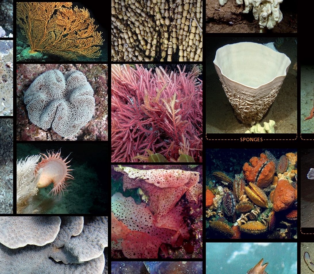
Photographs and video provide a safe, non-destructive and efficient way to examine and monitor marine habitats. A new classification system devised by Australia’s CATAMI project provides the common language that now makes them useful to researchers on a national scale. This image is a detail from a CATAMI poster.
AARNet infrastructure underpins a groundbreaking new system for identifying and naming marine flora and fauna pictured in underwater photographs and videos, marking a huge step forward in the way the marine environment is examined and monitored.
The Collaborative and Automated Tools for Analysis of Marine Imagery (CATAMI) project (funded by the National eResearch Collaboration Tools and Resources (NeCTAR) and supported by the Australian National Data Service (ANDS), developed the system, which provides researchers with tools enabling them to quickly and easily upload, organise, categorise and share photo data from field trips.
The CATAMI data collection is stored at Pawsey Supercomputing Centre in infrastructure provided by the federally funded RDSI Project. The wider research community accesses and shares the data as well as collaboration tools over AARNet’s high-speed optical network infrastructure.